Milestone
520
Miles of the NYC waterfront are viewable in WFMMS.

WFMMS is an interactive resource that provides data and tools needed to track, assess, and prioritize waterfront assets in New York City.
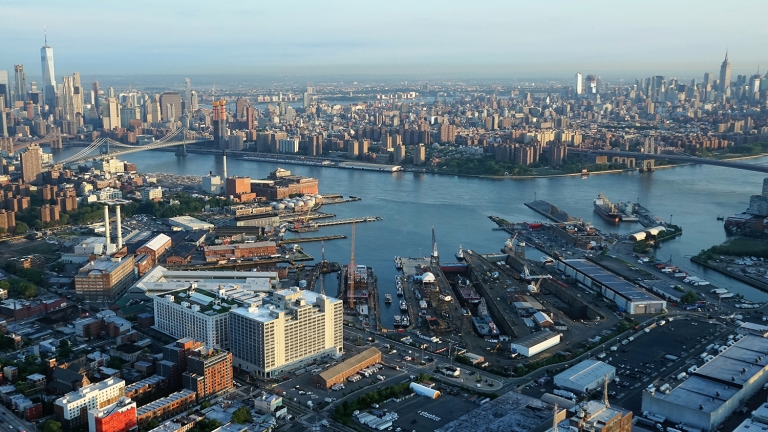
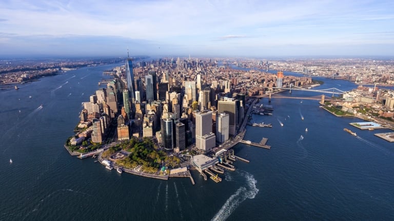
Designed and managed by NYCEDC’s Asset Management Design and Construction team, WFMMS was born from a need, following Hurricane Sandy, to better understand the current state and condition of the New York City waterfront—of 520 miles of cruise terminals, parks, piers, wastewater treatment plants, asphalt plants, bulkheads, and other assets that are vital to the city’s economy and livability.
This led to the development of a centralized online tool, using geospatial data and computer modeling, that allows a variety of stakeholders to create an account and access detailed maps, and other important data on the NYC waterfront.
Miles of the NYC waterfront are viewable in WFMMS.
WFMMS is a robust tool that provides:
These features allow NYCEDC, city agencies, engineers, marine contractors, construction professionals, community stakeholders, and others to make better-informed decisions when prioritizing waterfront assets. Further, WFMMS enables greater interagency alignment, collaboration, and efficiency in the creation of capital and neighborhood plans.

Access up-to-date info, maps, and reports on the NYC waterfront.
Create an AccountBeyond its benefits and resources for our external partners, WFMMS is central to our own efforts on critical projects for a sustainable city. The system’s centralized database of inspection information allows NYCEDC to react more quickly, flexibly, and effectively in supporting critical City-led infrastructure projects and initiatives on the waterfront, including:
Create an account to access up-to-date info, maps, and reports on the NYC waterfront.
Related Projects


