Raise Shorelines: Travis Avenue
Travis Avenue will be closed between Victory Boulevard and Mulberry Avenue during the project. Timeline for the project's start is currently under review.
The Raise Shorelines initiative is a critical part of NYC’s five-borough coastal defense program to protect neighborhoods from the impacts of climate change.
NYCEDC, on behalf of the NYC Mayor’s Office of Climate and Environmental Justice (MOCEJ), is managing the Raise Shorelines portfolio to address vulnerability of NYC shorelines and protect coastal communities from projected 2050 sea-level rise.
Travis Avenue, Staten Island
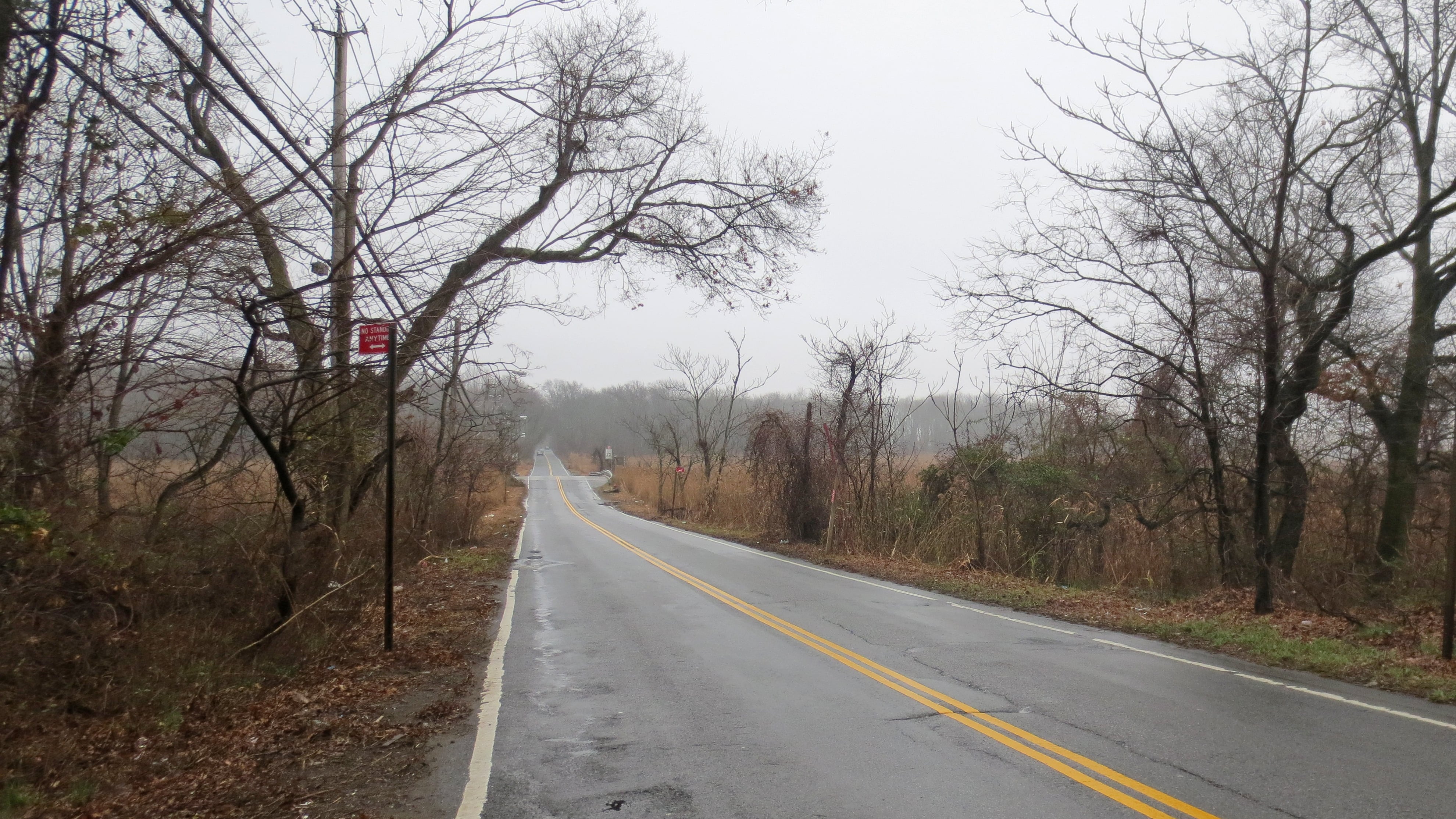
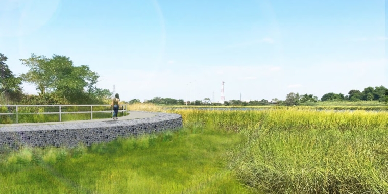
Travis Avenue, due to its location in a wetland, experiences significant flooding and some of the highest rates of flooding in Staten Island. By 2050, water levels could rise between 32 and 38 inches, resulting in high-tide flooding twice a day. To avoid future disruptions caused by increased flooding events, the section of Travis Avenue in Staten Island between Victory Boulevard and Mulberry Avenue was selected for the Raised Shorelines Initiative. The road raising will prevent erosion and mitigate daily tidal flooding from sea-level rise by increasing the height of coastal edges.
Roadway Closure
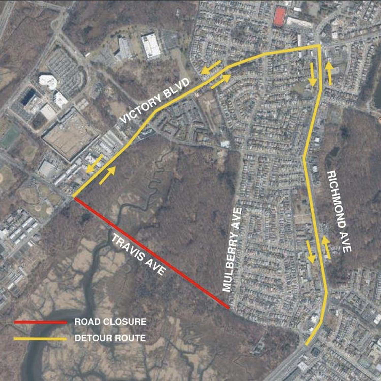
Travis Avenue will be redirected along Victory Boulevard and Richmond Avenue. Emergency lanes will be constructed for emergency services.
Construction on the roadway will require the closure of Travis Ave between Victory Boulevard and Mulberry Avenue for approximately 15 to 18 months in Spring/Summer 2025. Ongoing traffic will be detoured on to Victory Boulevard and Richmond Avenue during this time.
Contact Us
Reach out with a question about this project.
Related Projects